Crimetics
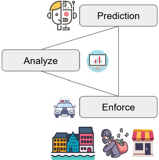
Crime prediction, as a vital tool for enhancing urban safety, is instrumental in the allocation of patrol forces and the maintenance of public safety. Preventing crime is crucial for maintaining social order, ensuring public safety, and fostering a sense of security within communities. We provided compelling data analysis to understand spatio-temporal-contextual patterns involved in crimes and then build a novel AI model to recognize these dynamic, complex, and sparse patterns for better predictions of when, where and which type of crimes are likely to occur.
Mapathon
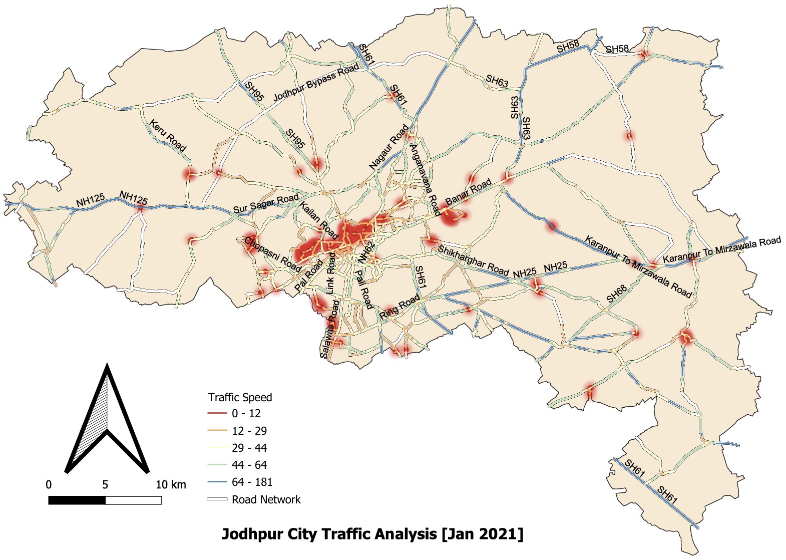
Jodhpur, the second-largest city in Rajasthan, faces increasing urban traffic challenges. In this project, we analyzed traffic hotspots by extracting road network and traffic data specific to Jodhpur city. The data was visualized and mapped using QGIS software, allowing for a detailed spatial analysis. The results highlight key congestion zones in central areas such as Nai Sadak Road, Sardarpura B Road, Neem ki Gali, and Residency Road. This project was carried out as part of the IIT Bombay–FOSSEE Mapathon 2023, contributing to open-source geospatial mapping and urban mobility research.